LEVERAGE GIS TECHNOLOGY TO TRACK DONOR CONTRIBUTIONS, MANAGE PROJECT ASSETS, AND COMMUNICATE YOUR SUCCESS.
“The impact of the prototype on our donors was nothing short of astounding. Collaborating with SymGEO to craft a functional prototype during the feedback-gathering phase proved instrumental in cultivating a comprehensive catalog of requisites across all donors.”
– One Tree Planted, Donor Portal
"SymGEO has the unique ability to distill content into compelling visual geospatial products and narratives that tell a story and help track impacts. They are very proactive, responsive, great communicators, and can spin up apps quickly that help with design decision-making.
- Lincoln Institute of Land Policy, Hubsite Design and Configuration
"SymGEO played a key role in helping us build both of these important digital platforms. After listening carefully to our goals and answering every one of our questions, they helped us create two distinct interactive platforms."
- Preservation Society of Charleston, Historic Site Dashboards
"The SymGEO team worked on a tight schedule to deliver a series of impressive updates and fixes to our existing application, including a whole visual re-imagining. We are excited to work on even more innovations to the tool going forward together."
- American Public Transportation Association, Industry Footprint
READY TO TRACK AND SHARE YOUR SUCCESS?
Schedule your free consultation today.
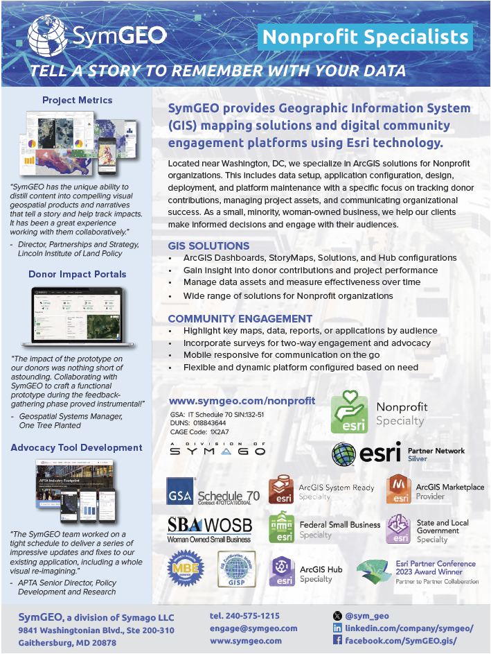
Located near Washington, DC, we specialize in ArcGIS solutions for Nonprofit organizations. This includes data setup, application configuration, design, deployment, and platform maintenance with a specific focus on tracking donor contributions, managing project assets, and communicating organizational success.
As a small, minority, woman-owned business, we help our clients make informed decisions and engage with their audiences.
See our printable Nonprofit capabilities statement for more information.
