SymGEO was honored to partner with DC’s Ward7 to design and launch a community outreach site designed to present a brief history of the area, a flavor of the neighborhood, the challenges faced due to a changing development landscape, and a call to action for the residents.
“The genius of SymGEO was exactly what I needed to help jump-start a discussion on the DC Comprehensive Plan/Element Framework, transforming it from a boring review of data sets into an energizing discussion where people can clearly identify themselves in the data and endeavor to become change agents! SymGEO has taken community engagement and data collection to another level! #OneHappyCustomer”
– Ward7 Outreach Committee Chair
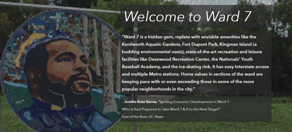
The Ward7 Community Outreach site is built on Esri’s ArcGIS Hub framework which offers exceptional design flexibility and mobile responsiveness. The site begins by presenting what makes a successful neighborhood and how Ward7 has achieved its own distinct success.

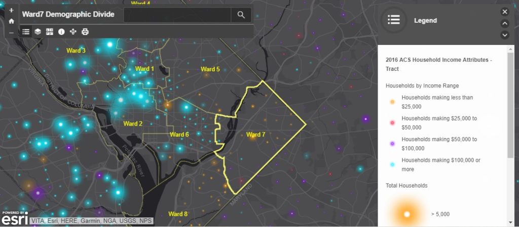
Historic challenges have caused a rather sharp divide between Ward7 and some of its surrounding neighborhoods. This divide was best illustrated with demographic data showing income and education. This mobile-responsive data exploring application was built using Web AppBuilder.
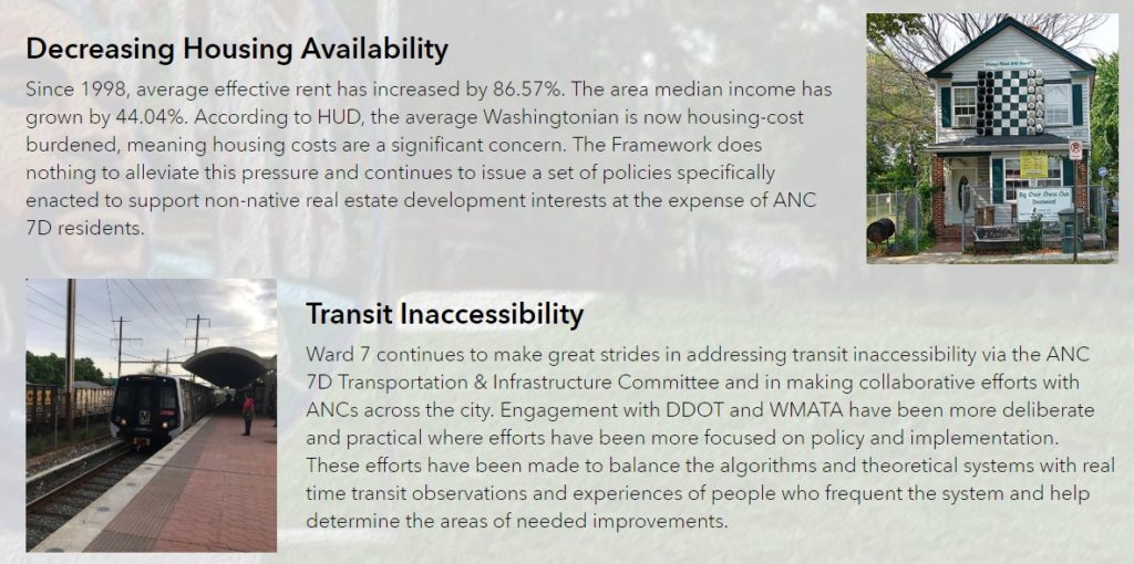
The site discusses how long-term planning and development within Washington DC is guided by the Comprehensive plan, what factors are considered by the plan, and some of the challenges faced by Ward7 during the development process.
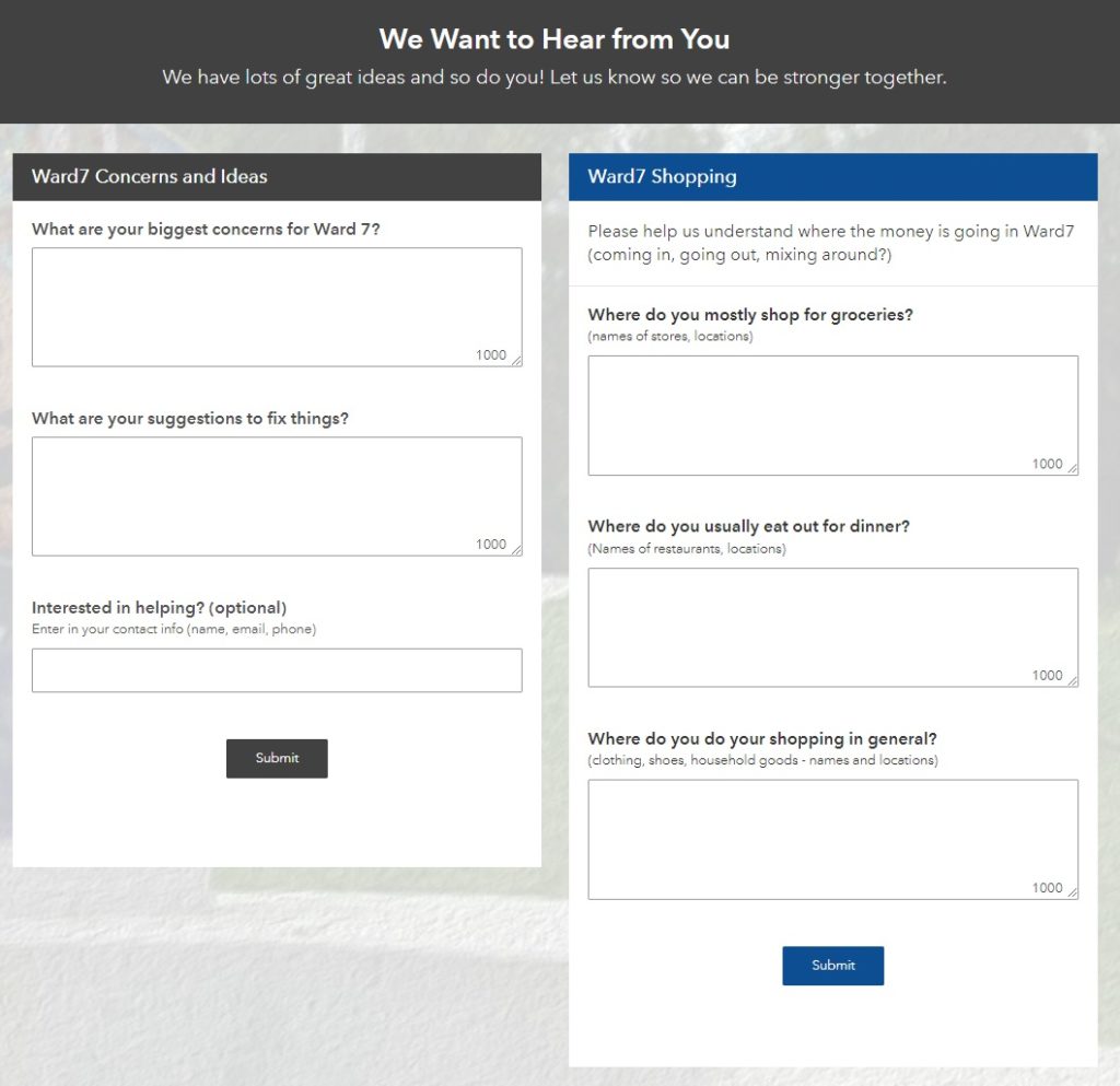
Suggestions on how to improve the plan are offered, and community input is solicited using Esri’s Survey123 for ArcGIS,
Finally, social media is embedded into the site so that the community can stay up to date with the many events happening in and around Ward7.

Talk to SymGEO today if your agency or organization is interested in community engagement with the power of Esri’s ArcGIS Online platform – we are certified experts and here to help.