3D building production

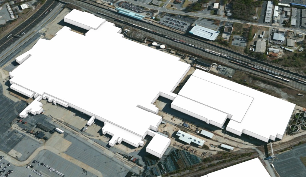
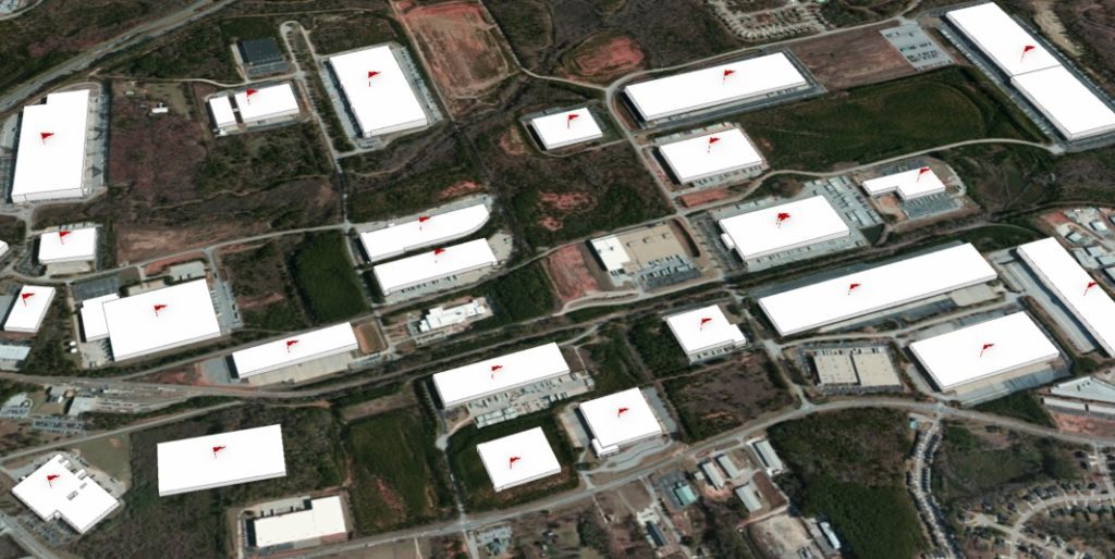
SymGEO was honored to work with a leading commercial real estate broker to identify and construct almost 1500 industrial buildings in 3D. Using a provided list of addresses, the buildings were geocoded using ArcGIS Pro and visually inspected to validate the location. We then used Esri’s “World Image Clarity” basemap and ArcGIS Pro editing tools to construct building footprints and to segment them based on roof shadow lines. Roof heights were assigned based on known values or were given a default value if unknown. Buildings ranged from “quite simple” to “reasonably complex”, but we worked tirelessly to complete the task!

“Thanks again for all your work on this.”
– Program Manager, Client Confidential

Contact SymGEO for your 3D digital needs and start a conversation today!

Targeted marketing with ArcGIS

Have you ever wondered where the best places to market your services are? Sifting through a list of thousands of potential contacts can be rather daunting, but fortunately, ArcGIS geocoding can bring that task down to a manageable size.

SymGEO recently worked with a confidential medical group to identify provider locations and potential targets that included rural health clinics, medically underserved areas (MUA), medically underserved populations (MUP), primary care facilities, dental care facilities, and mental health facilities. This information was then cross-correlated with ten thousand certified and licensed providers to determine the optimal areas for marketing campaigns.

“That’s perfect! This has been a lifesaver.”

– Client Confidential, medical services marketing

Due to the sensitive nature of this information, we can only share generalized graphics, but the power of GIS and locational analysis saved time, energy, and money during the sales and marketing process.

Contact SymGEO today with your sales and marketing needs!