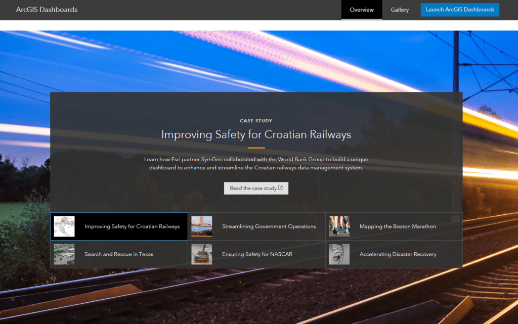
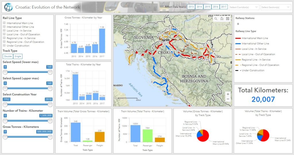
SymGEO is pleased to announce the completion of a project with The World Bank Group that enables valuable interactive insight into the rail transportation system in Croatia. This project has since been featured by Esri as a Case Study for dashboard best practices, and then featured in ArcNews as a success story entitled “World Bank Deploys GIS Dashboard to Improve Railway Safety in Croatia“.
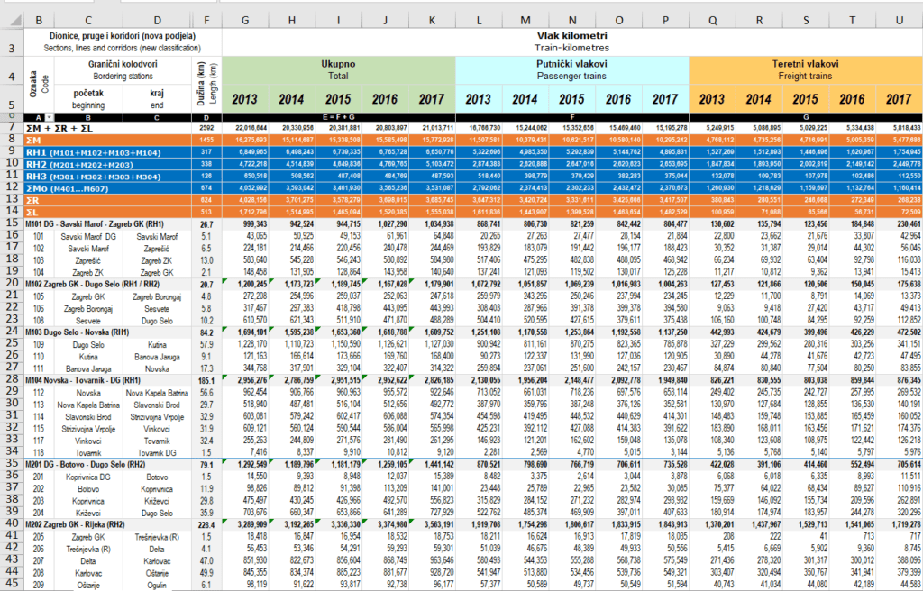
This project started from humble beginnings, with a series of excel files that detailed rail segment speed, passenger numbers, freight volumes, age of the track, and other characteristics.

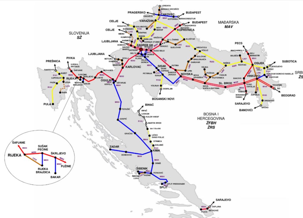
SymGEO then used a schematic diagram of the network to build and calibrate a spatially accurate network based on OpenStreetMap rail data and linear referencing of station locations.
This newly created spatial data was then hosted in ArcGIS Online and used to configure an ArcGIS Dashboard application. This application was specifically designed to filter and query the data interactively on demand and present summary statistics based on complex queries. This combination of attribute queries, summary statistics, and visual representation now enables report graphics and key decision data to be created on-the-fly by the client.
“This is superb and exactly what the client needed and what I was imagining.”
– World Bank client
If you have complex transportation network data that you’d like to leverage with an intuitive, user-friendly, configurable application, then SymGEO would love to hear from you!