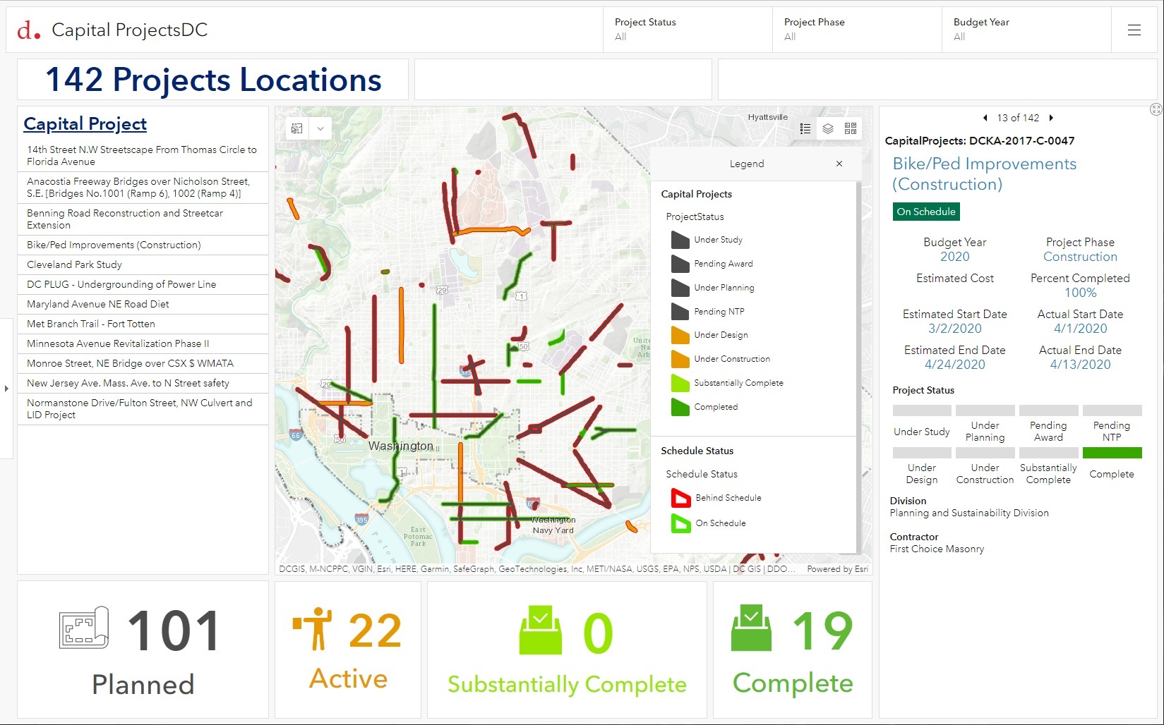
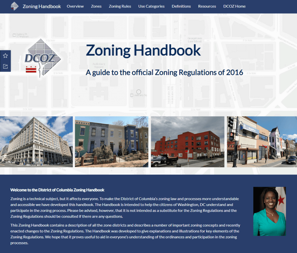
The District of Columbia Office of Zoning (DCOZ) is responsible for communicating zoning rules and regulations to District residents. To facilitate this flow of technical information, DCOZ partnered with SymGEO to develop the next-generation DC Zoning Handbook, built using ArcGIS Hub technology.
“The Zoning Handbook is an important resource for District residents to understand and participate in the zoning process. We enjoyed working with SymGEO to migrate existing content, leverage current technology, and develop new solutions to make the process as easy as possible for our audience.”
– Director, DC Office of Zoning
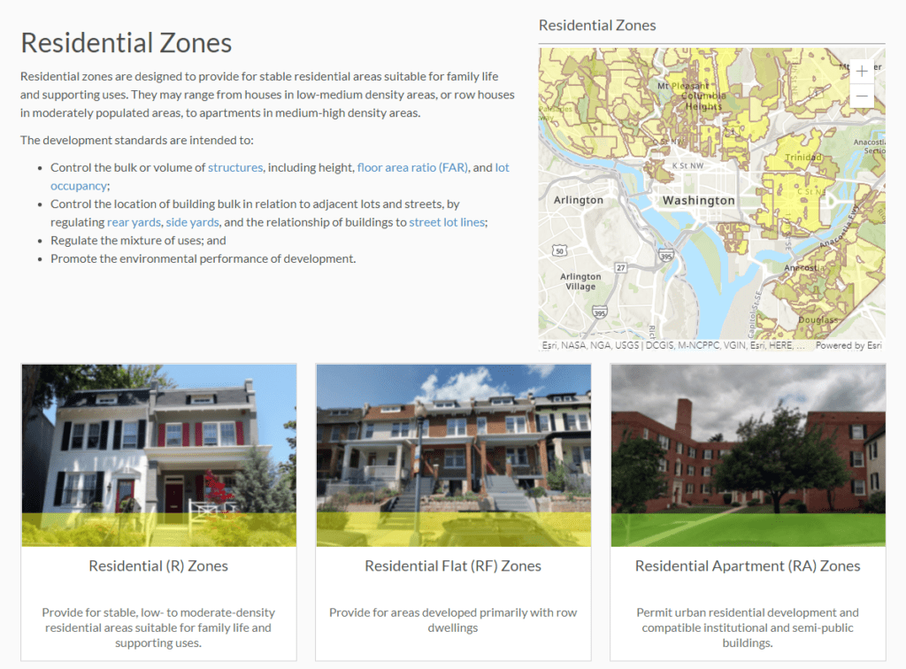
The Zoning Handbook was designed to start at the highest level of information and introduce the concepts and locations of zoning categories.
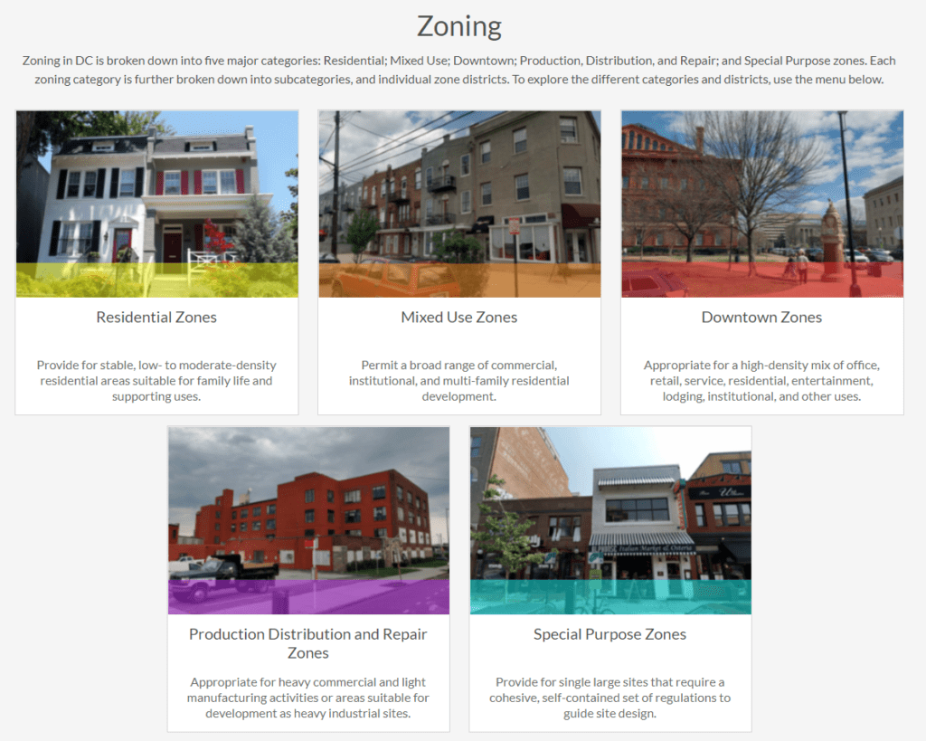
Selecting a general zoning category (such as Residential) drills down into the types of residential zoning in the District.
Selecting a type of residential zoning delves into the purposes and intentions of the many variants within that particular zoning type.
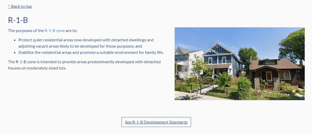
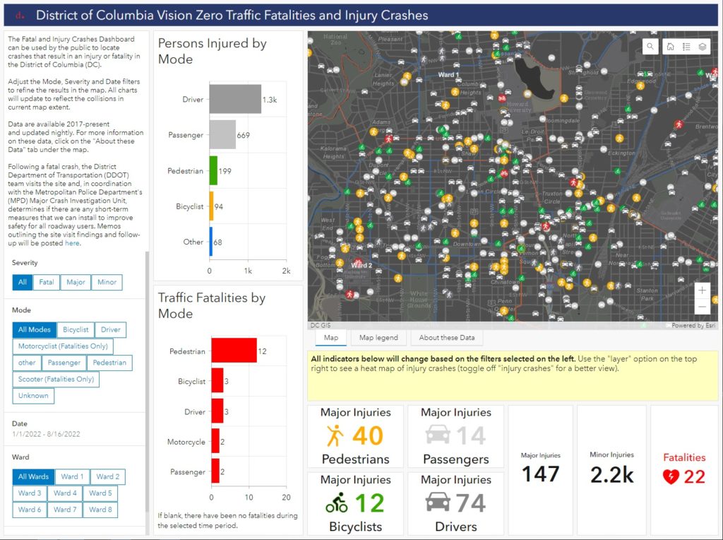
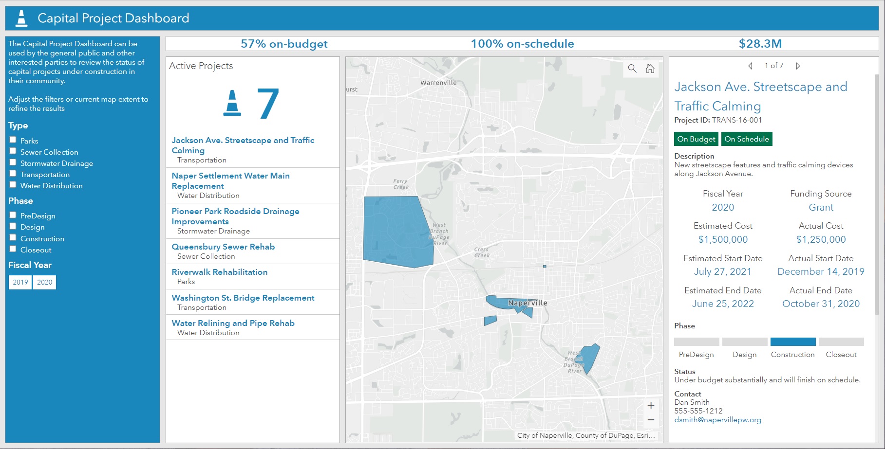
At this final level of detail, the development standards for the specific zone are offered using a Development Standards Dashboard, developed using ArcGIS Dashboards, which communicates the technical aspects of the zoning type in a mobile-responsive format.

“The ArcGIS Hub cloud platform enabled us to augment the zoning regulations with interactive dashboards and maps to provide an engaging and informative experience while reducing the need for on-premise servers and applications.”
– Data Coordinator, DC Office of Zoning
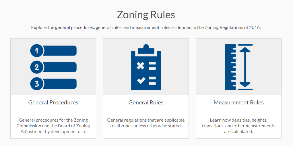
Back on the main page of the Zoning Handbook, insight can be found into the general procedures, general rules, and measurement regulations as defined in the Zoning Regulations.
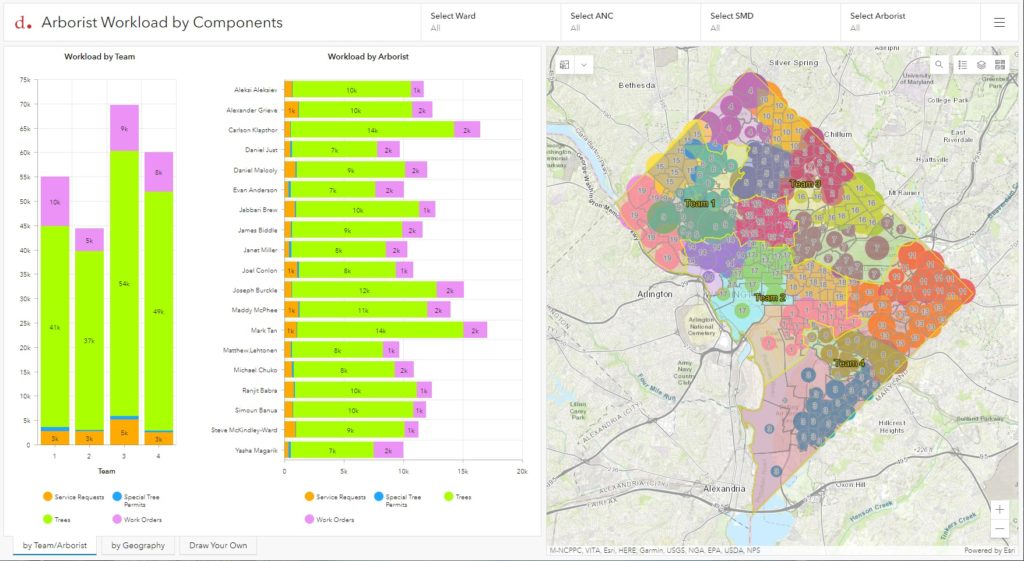
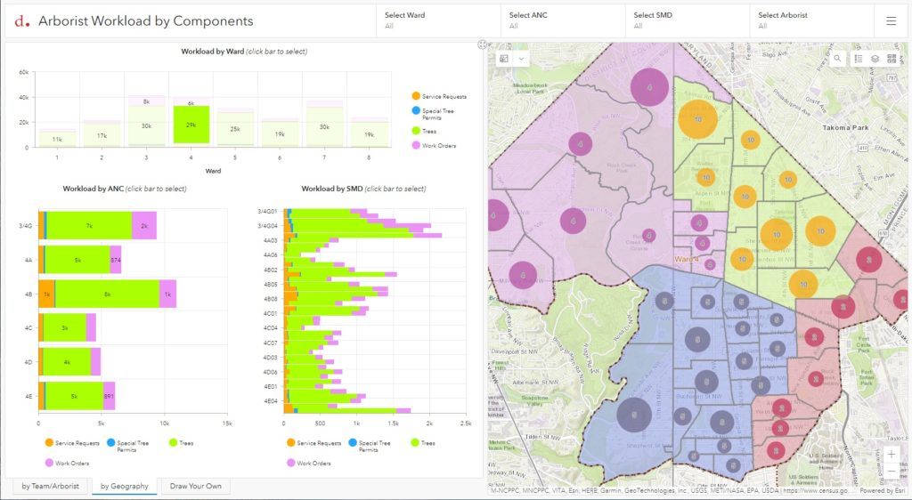
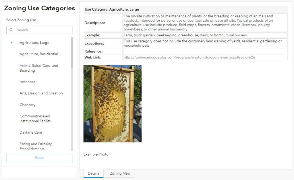
Zoning Use Categories are presented using ArcGIS Dashboard technology in a mobile-friendly format.
A long list of definitions helps District residents navigate the language used in the zoning regulations.

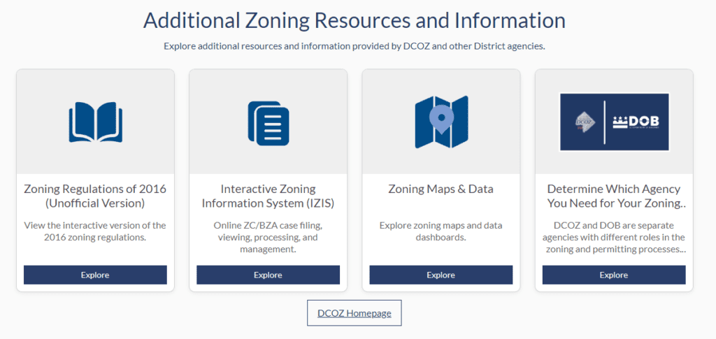
Finally, additional zoning resources and information are offered for further reading and zone exploration.
Talk to SymGEO today if your municipality or agency is interested in migrating web content to an ArcGIS Hub solution – we are certified experts and are here to help.