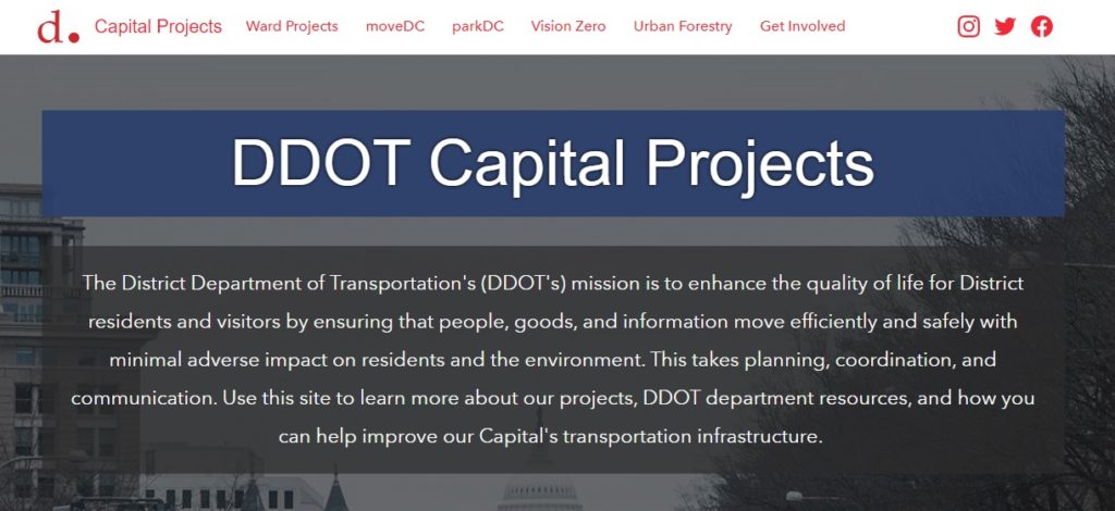
The District Department of Transportation’s (DDOT‘s) mission is to enhance the quality of life for District residents and visitors by ensuring that people, goods, and information move efficiently and safely with minimal adverse impact on residents and the environment. To accomplish this goal, many transportation capital projects are being funded, designed, and constructed throughout the city. To help organize and communicate capital project status and information, SymGEO collaboratively built an interactive engagement portal called DDOT Capital Projects using ArcGIS Hub technology.
“The SymGEO team has helped DDOT transform our digital presence into a highly engaging, well-organized platform. They leverage GIS best-practices and Esri technology to produce visually informative and actionable solutions.”
-DDOT Chief Performance Officer
Projects are organized by Ward for easy access and discoverability by citizens or stakeholders.
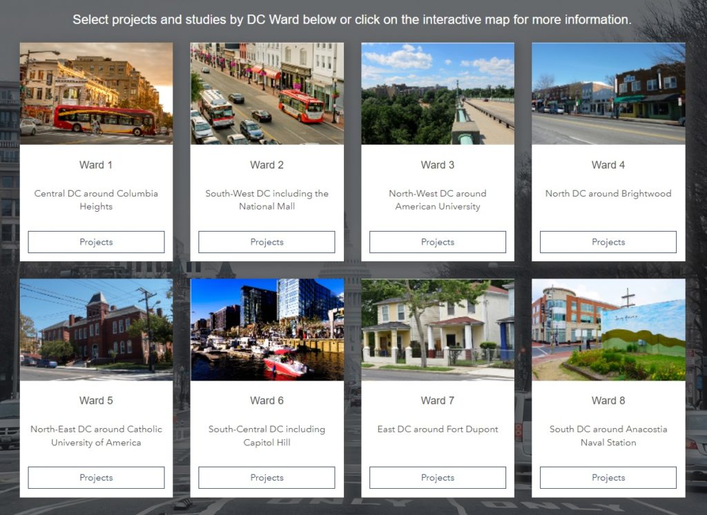
Selecting a Ward will show which projects are currently underway or recently completed in the area.

Selecting an individual project unlocks a wealth of information about the project and provides a convenient one-stop-shop for all data and narratives about the project. SymGEO transferred existing content from legacy capital project websites, and project-specific contractors are now responsible for building and maintaining new project websites.
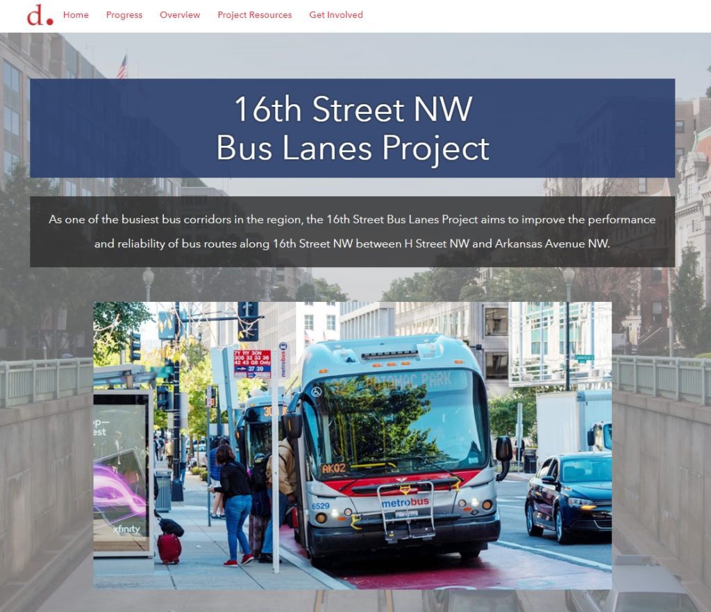
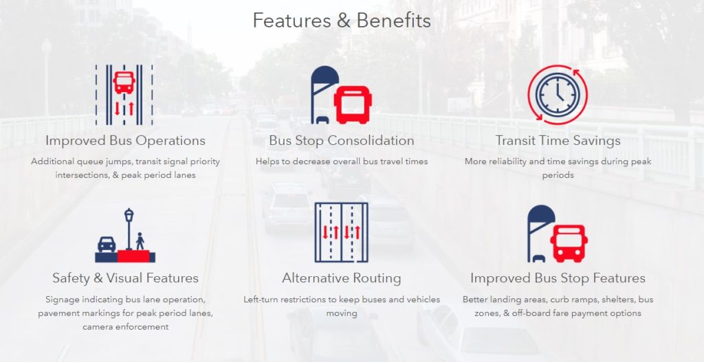
Project features and benefits are presented along with the expected project timeline, history, and associated public outreach material.
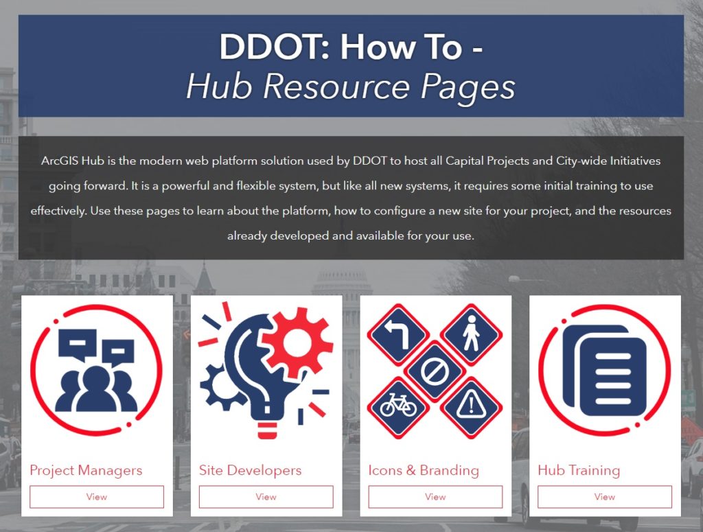
As this platform is relatively new to most consultants working on individual projects, SymGEO also produced a “how to” hub site that explains the process for Project Managers and Web Developers. Each project starts from the same standardized template, and branding guidelines are presented to help keep the sites consistent throughout the platform.
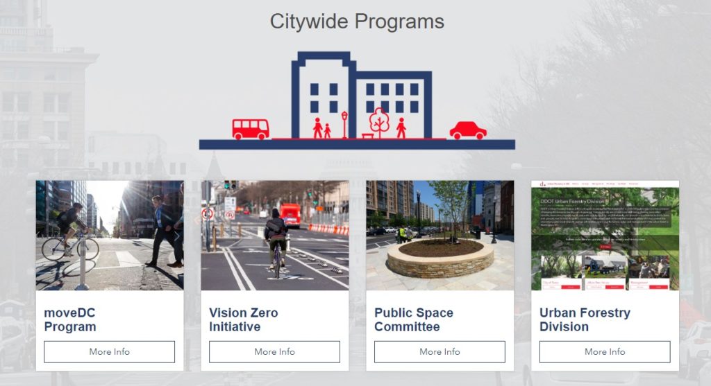
The main DDOT Capital Projects website also features citywide programs of interest to residents.
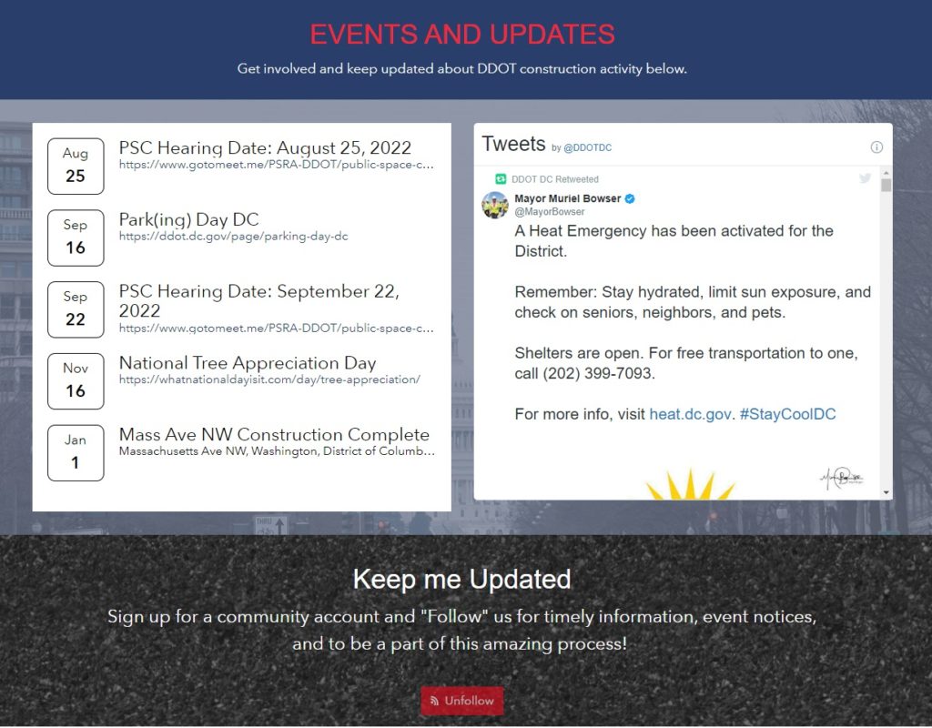
Events and updates are aggregated from individual projects and citywide programs to give a comprehensive picture of all that is happening throughout the city.
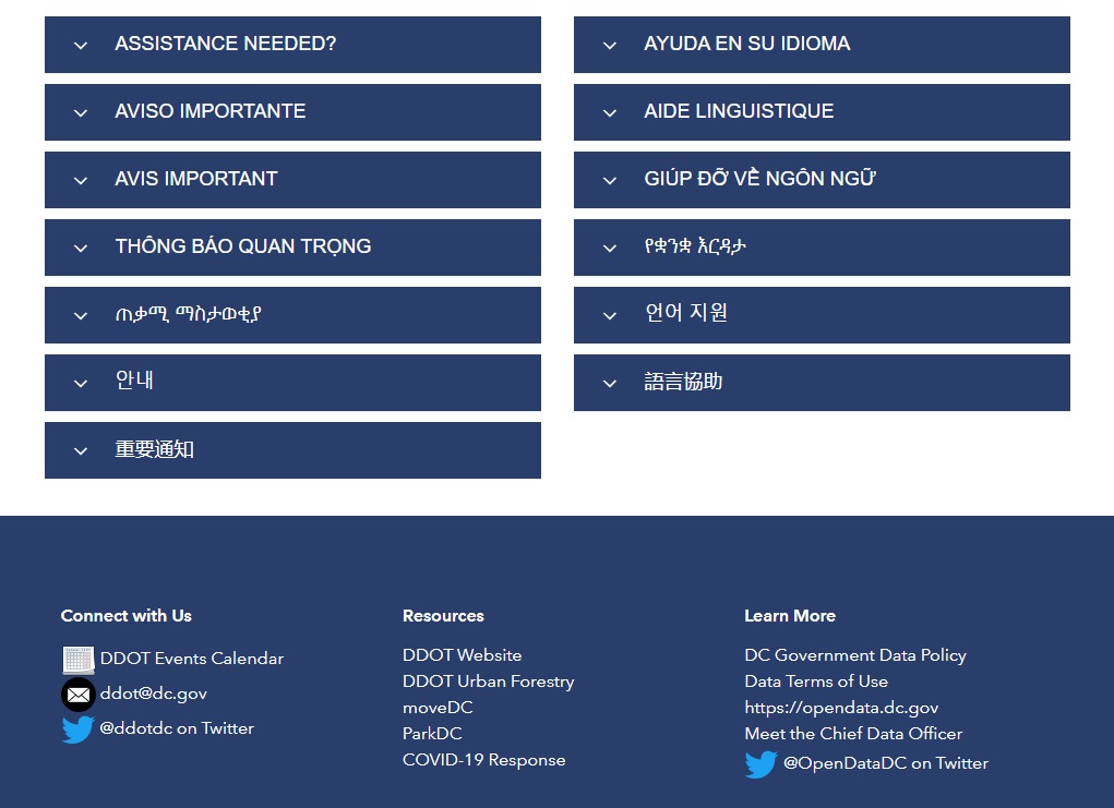
A custom footer provides important accessibility information and additional resources to discover.
Talk to SymGEO today if your agency or organization is interested in community engagement with the power of Esri’s ArcGIS Hub – we are certified experts and here to help.