The District Department of Transportation (DDOT) has launched moveDC 2021, the long-range multi-modal transportation plan for Washington DC. As part of this launch, DDOT held Virtual Townhall meetings to discuss the transportation network’s existing conditions within the District and solicit resident input on DDOT’s goals and policies.
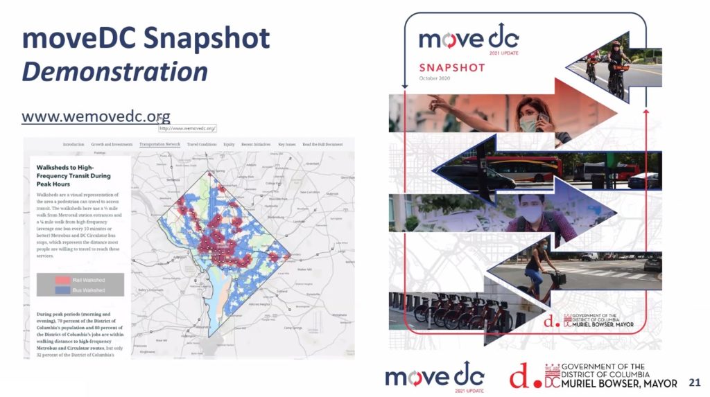
We were very excited to see our moveDC Snapshot StoryMap featured prominently during the Townhall meetings! Produced in partnership between SymGEO, Kimley-Horn, Foursquare ITP, and DDOT, this dynamic, interactive, and engaging method of presentation was perfect to capture the energy and data that has gone into moveDC 2021.
“Wow, this looks so good in StoryMap form! I love it!”
– DDOT Project Manager
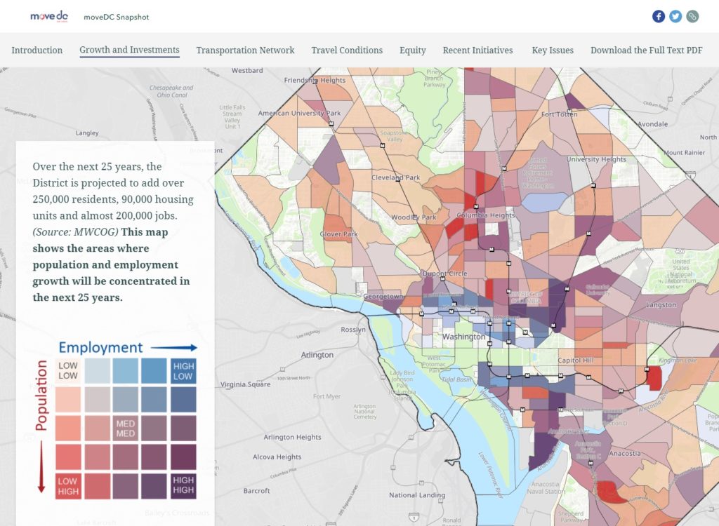
We used the sidecar functionality of the latest ArcGIS StoryMap framework as a key component to deliver both guided, instructional narrative and interactive mapping at the same time. Mapping symbology was set in the ArcGIS Online web maps while complex legends were imported as images to facilitate visual interpretation of the data.
Talk to our industry experts today if your agency or organization is interested in community engagement with the power of Esri’s ArcGIS StoryMap technology – SymGEO is here to help!