The National Forest Foundation (NFF), chartered by Congress, was created with a clear mission: to bring people together to restore and enhance our National Forests and Grasslands. A core part of this work involves improving watershed health through reforestation and ecological restoration. To support these efforts, SymGEO is proud to partner with NFF on the development of the Water Benefits Tool (WBT), a GIS-powered system that helps quantify how restoration projects benefit water resources across National Forests.
A Simple, Powerful Start
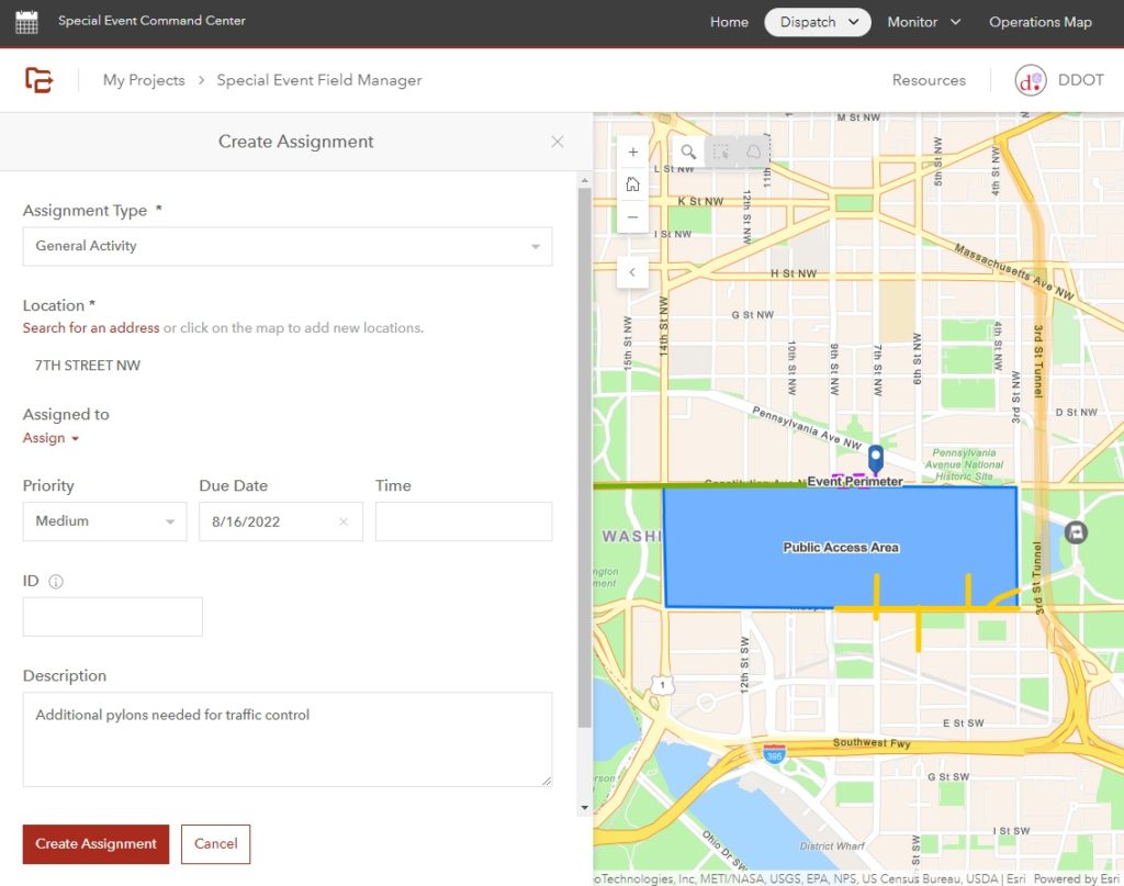
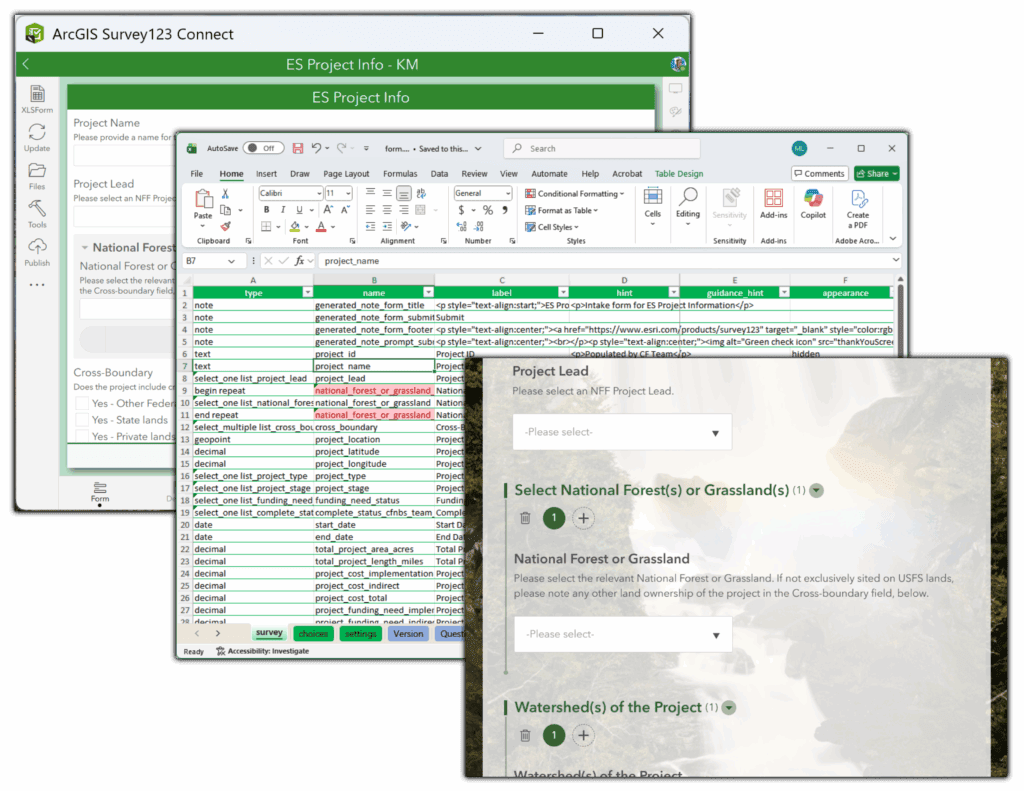
In Phase 1 of this multi-year effort, SymGEO partnered with NFF to develop the tool’s first major component: a streamlined Survey123 form built in ArcGIS Survey123 Connect. The form gives NFF staff a simple, consistent way to capture the key details needed to estimate the volumetric water benefits (VWBs) of restoration activities, including increased inundation, groundwater recharge, and reduced water consumption, which are essential inputs for project-level fundraising.
The tool references online data sources, including soil information and custom look-up tables to pre-populate values automatically, saving time and improving consistency.
Bringing Science and GIS Together
Behind the scenes, NFF’s guidance documentation and calculation workflows provided the scientific framework for how VWBs should be estimated. SymGEO translated this guidance into a modern GIS workflow using:
- ArcGIS Survey123 Connect for field and office data collection and advanced calculations
- ArcGIS Online for sharing, analysis, and future dashboard integration
This combination ensures that the information collected today can seamlessly support more advanced analysis and reporting in future phases.
Preparing for the Full Water Benefits Tool
While Phase 1 focused on building the core data-collection engine, later phases will expand the system into a complete project dashboard where staff can:
- View and filter projects
- Track budgets, sponsors, and project status
- See recommended VWB calculation methods
- Monitor implementation and performance over time
The work completed in Phase 1 sets the foundation for this vision, ensuring the data and workflows are structured for easy expansion.
Overcoming Challenges, Building Momentum
As with any innovative GIS solution, the project required creative problem-solving. Survey123’s technical constraints prompted smart refinements to the workflow, new decision-support needs expanded the scope, and the effort evolved into the foundation of a broader platform. Together, we kept the project on track and delivered a strong first phase.
Looking Ahead
The Water Benefits Tool will ultimately help NFF better understand, communicate, and scale the water-related benefits of their restoration work. SymGEO is excited at the opportunity to continue supporting future phases and advancing this important mission.
“SymGEO helped us turn a complex idea into a practical, GIS-powered solution. The new Water Benefits Tool brings clarity, consistency, and scalability to how we estimate the water benefits of restoration projects.”
– Conservation Finance Program Manager, National Forest Foundation
Talk to SymGEO today if your organization would like to manage project metrics using Esri’s Survey123 Connect and ArcGIS Online platform – we are certified experts and here to help.