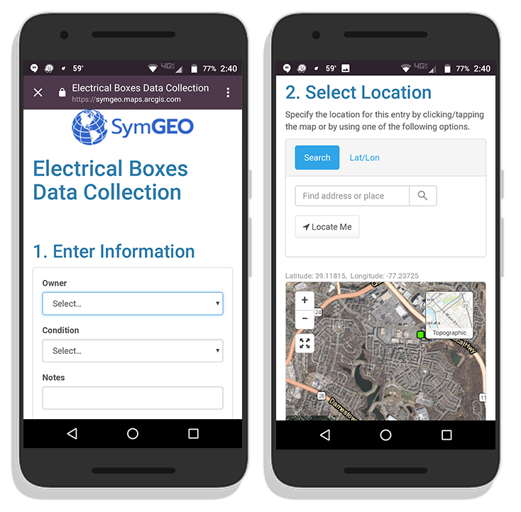
Specialized data sets that answer a focused need can be difficult or impossible to find, and sometimes the data set you need simply doesn’t exist. Maybe you need locations showing the availability of fresh food in your neighborhood, or want to know the location and condition of utility boxes, or the occurrence of garage sales. Fortunately, a number of configurable data collection products are available from Esri to help.
The first question to answer is: will you be able to tap into crowd-sourced power to populate the data set? If so, a publicly accessible web link is the way to go. Esri has introduced GeoForms and Survey 123, which allow any user to enter in the attribute information and location of the data when set to public. Alternatively, the permissions can be set so that just a specific group or user within your organization can access the forms.
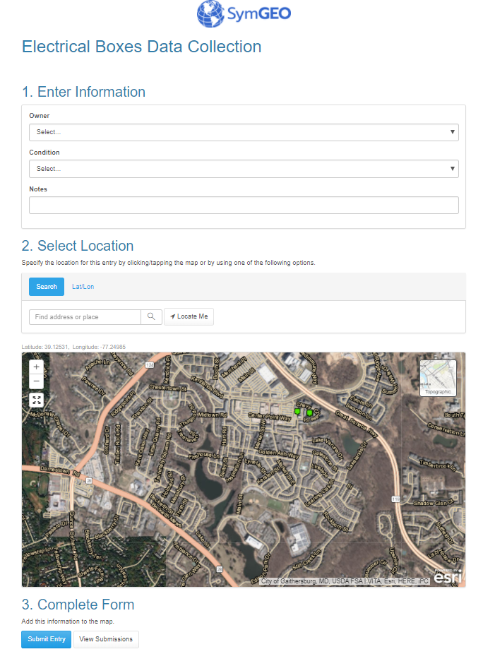
These configurable applications are mobile responsive, so fit very well onto a phone, where you can leverage the on-board camera to collect pictures at the same time.
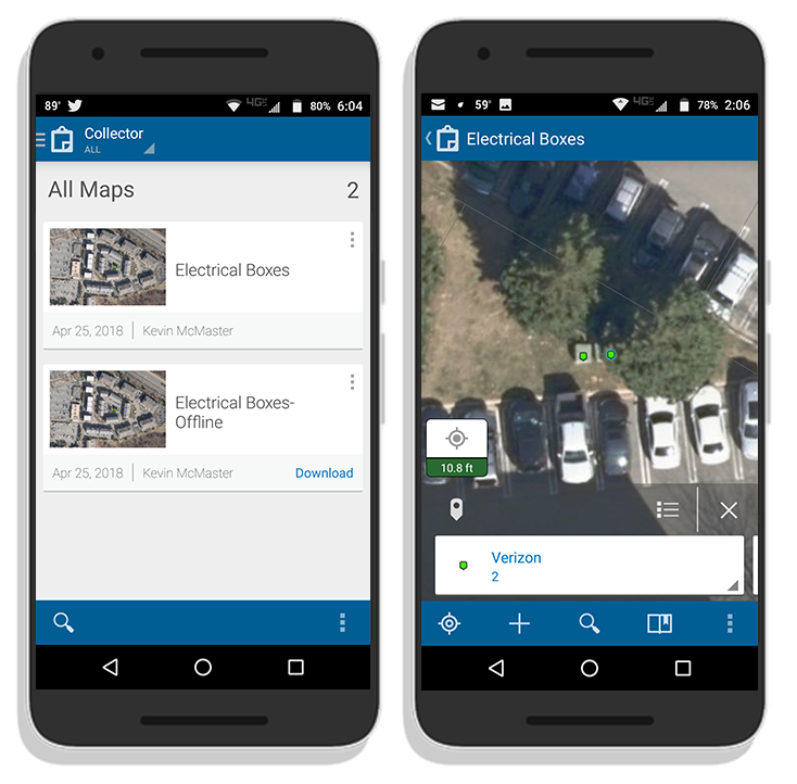
Another branch of data collection technology is Collector, which allows both connected and disconnected editing by named users. This may be useful in environments without access to mobile data or wi-fi, such as those following a disaster or storm event. These native applications are available for Android, iOS and Windows, and sync to data stored in ArcGIS Online or within an enterprise GIS when back in a connected environment.
If you’d like some help getting set up for mobile data collection, SymGEO is here to find you the perfect fit!