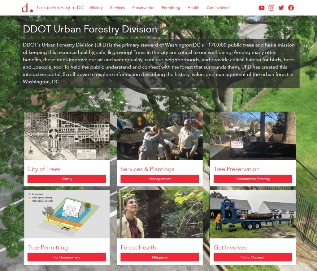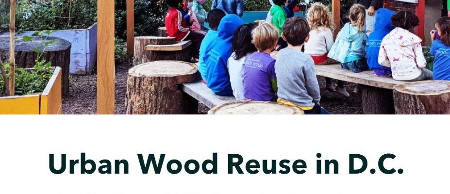
Client: Urban Forestry Division of DDOT
Challenge: Teaching kids the importance of nature, recycling, history, and culture is a lofty goal. The Urban Forestry Division (UFD) offers an environmentally friendly program called Urban Wood Reuse that provides DC Public Schools, public charter schools, and parks with wood products to improve grounds at no cost. Community outreach was needed to spread the word about this amazing program.
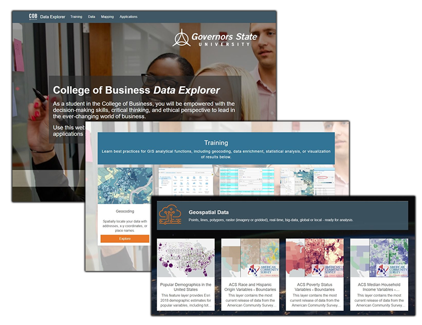
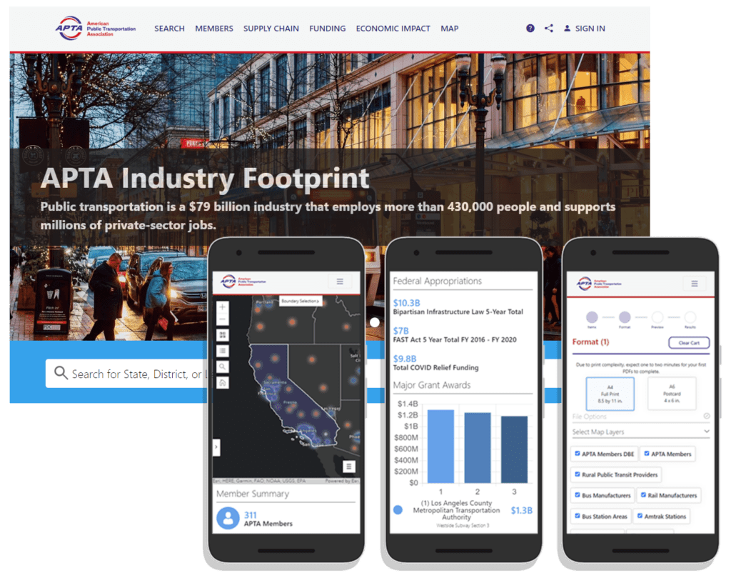
Solution: SymGEO was excited to develop the community outreach component of the Urban Wood Reuse program by designing and launching the Wood Reuse Hub site using ArcGIS Hub and Survey123 technology. This solution established two-way communication between the UFD and DC schools and parks interested in “sitting on a piece of DC History”. The site shares knowledge and products from the UFD while gathering the school’s product ideas and requirements.
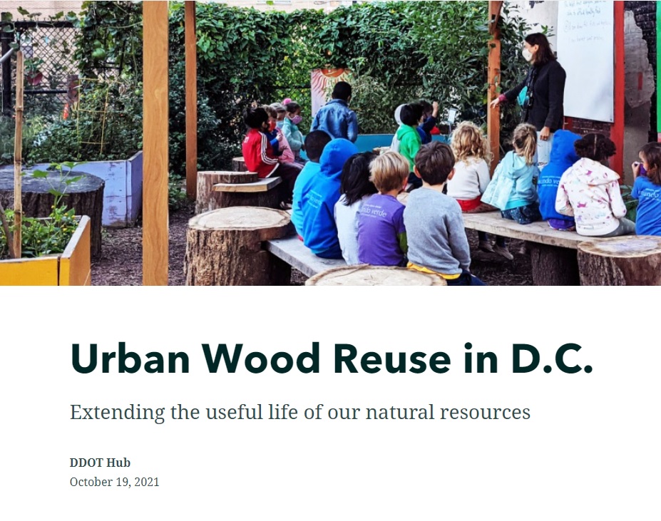
Client Feedback: “The new elements from Urban Wood Reuse have been well-received by our community and have enhanced our space. We are very grateful for their efforts that directly support our garden hideaway in the middle of the city.” – Mundo Verde Bilingual PCS