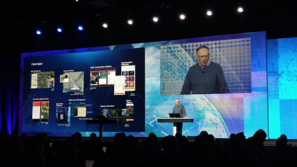
SymGEO is pleased to announce we have been awarded the ArcGIS Hub Specialty designation from Esri! This prestigious honor is bestowed upon partners to recognize their expertise and delivery of solutions and services that help customers build a bridge between government departments and communities using ArcGIS Hub technology.

“ArcGIS Hub is an easy-to-configure cloud platform that organizes people, data, and tools to accomplish Initiatives and goals.” – Esri
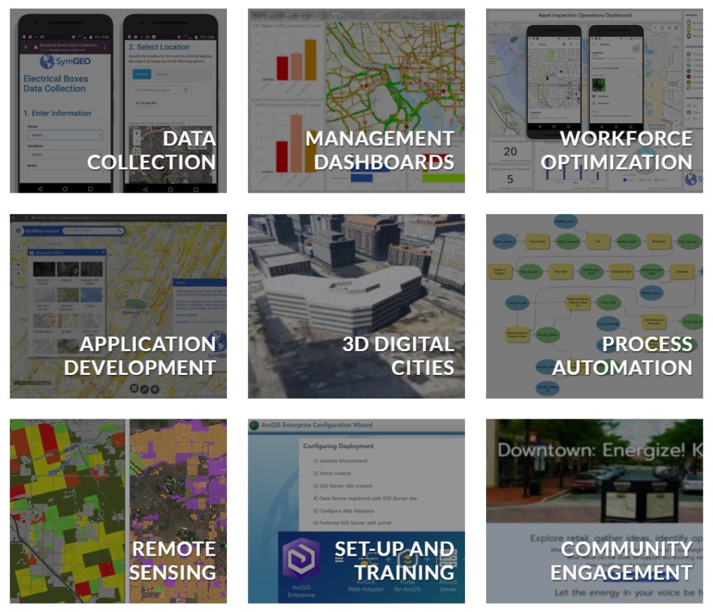
SymGEO has been fortunate to work on community engagement projects for municipal and local government clients and has enhanced our partnership with Esri to gain valuable insight into best practices and emerging Hub technologies. We work diligently with our clients to identify their core messaging, digital assets, targeted audience, and corporate branding. We then typically implement a Hub site comprised of pages and initiatives that feature a range of ArcGIS Online solutions, including Survey123, Web AppBuilder, ArcGIS Dashboard, Collector, and 3D WebScenes.
To show a sampling of our ArcGIS Hub work, we offer the following examples:
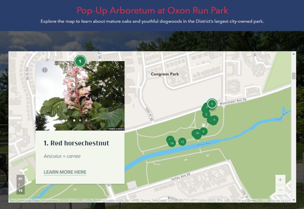
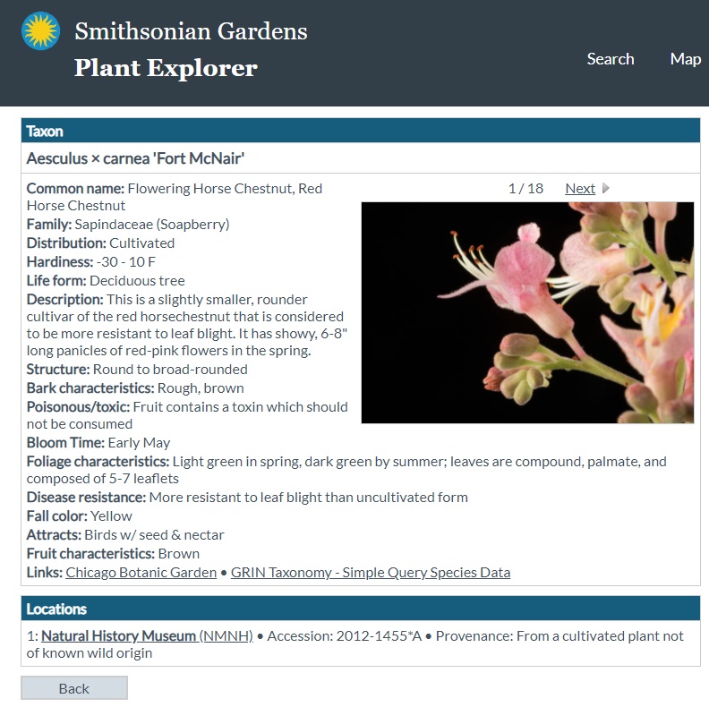
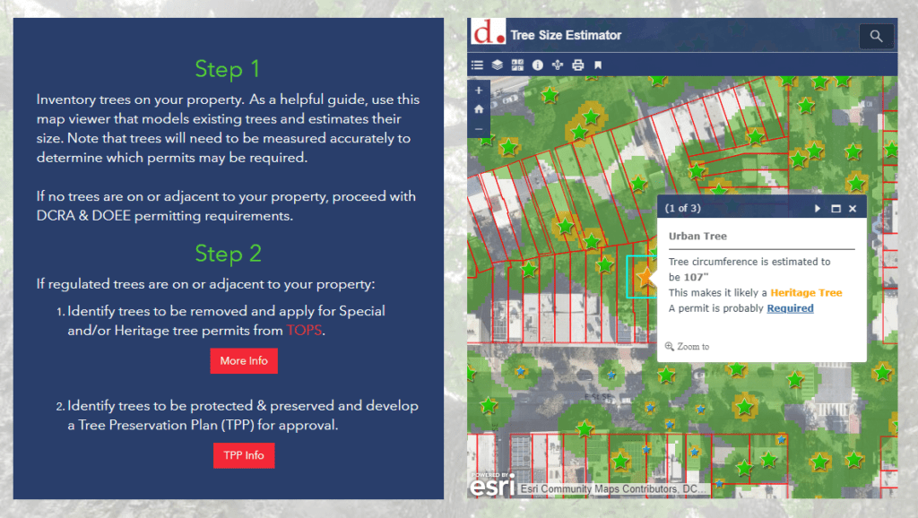
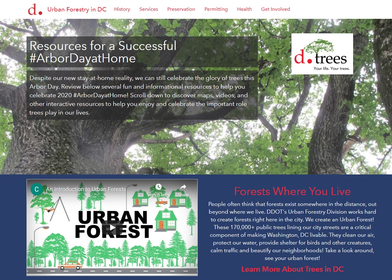
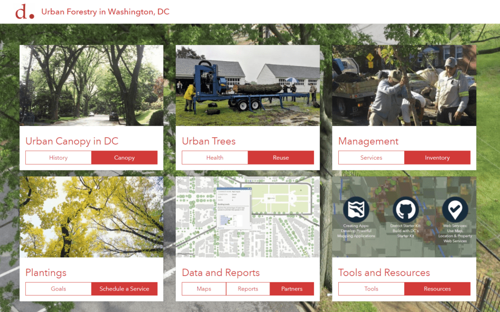
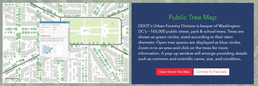
SymGEO partnered with the District Department of Transportation (DDOT) Urban Forestry Division (UFD) to build an ArcGIS Hub site that showcases their work, data, and configurable applications. Upon completion, we then developed an initiative for their group that features Urban Wood Reuse in Washington, DC. The site is designed for schools that are interested in ordering products from DDOT made from urban trees so that school children can appreciate the continued benefits of the urban forest. The site uses Survey123 to capture order information, and ArcGIS Dashboard (on the backend) to track request status as the orders are being processed. Most recently, we have made a page for their group that explores Urban Forest Health issues.
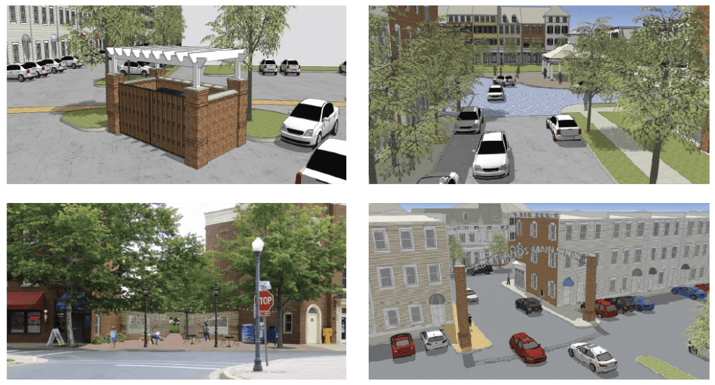
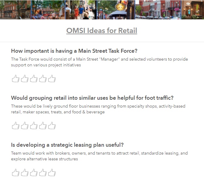
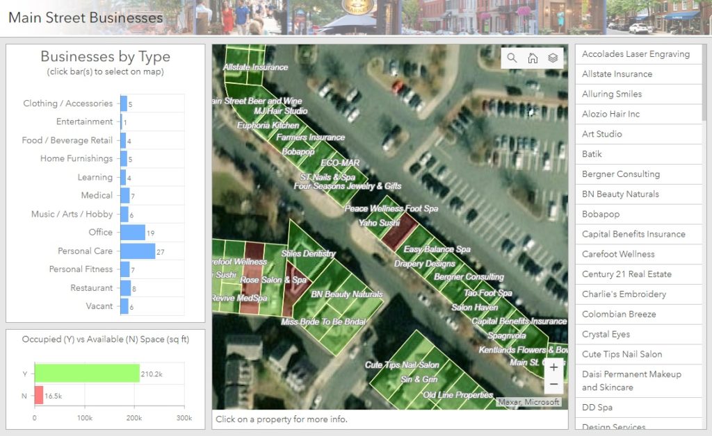
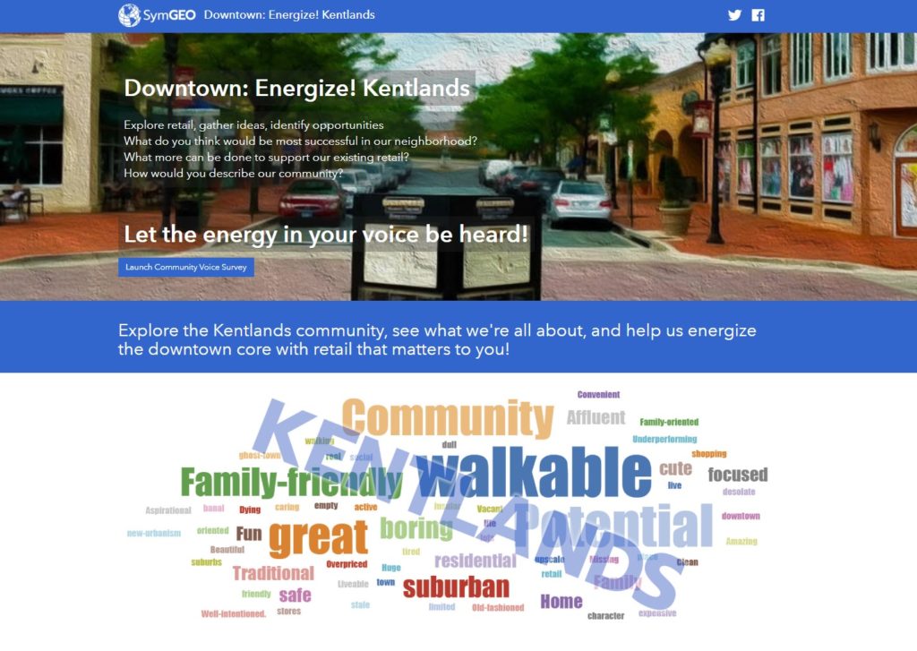
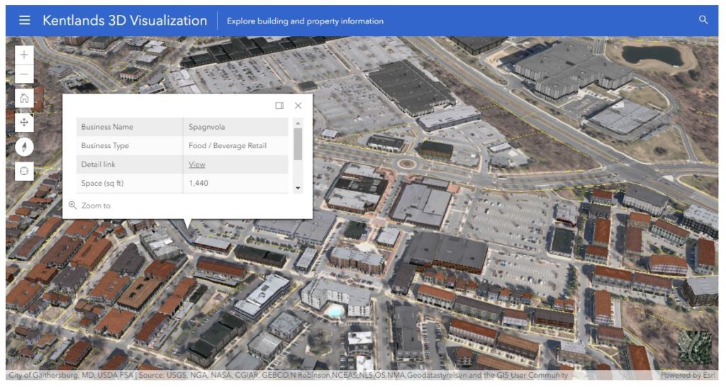
SymGEO worked with guidance from the Kentlands Downtown Working Group to develop Kentlands Downtown: Energize!, an ArcGIS Hub-powered site that aims to connect the community with the economic development team to voice their opinions on what would do well or is needed in the Kentlands. The site leverages Survey123, ArcGIS Dashboard, and a number of unique design elements, including a 3D “virtual” fly-through. The realistic textured 3D environment was developed using a Local Government solution (Local Government 3D Basemaps) that used building footprints, LiDAR data, and CityEngine.
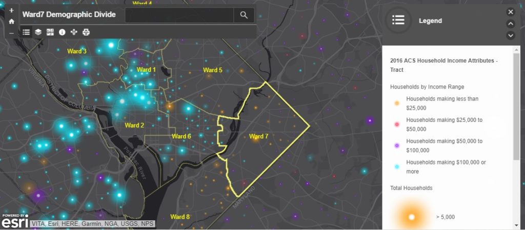
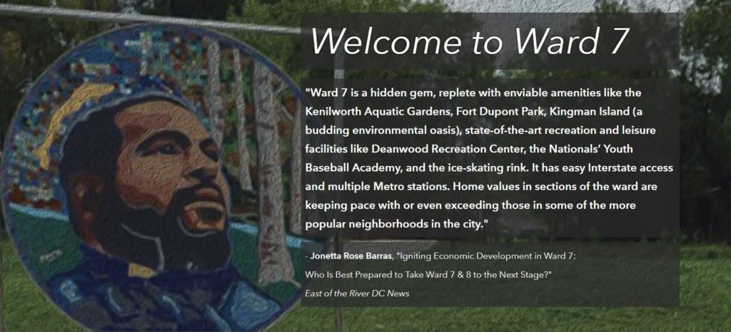
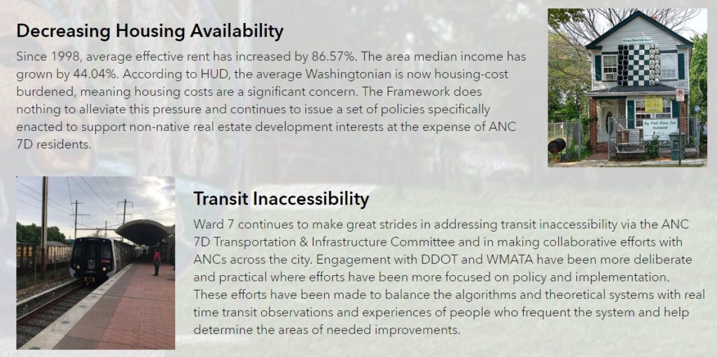
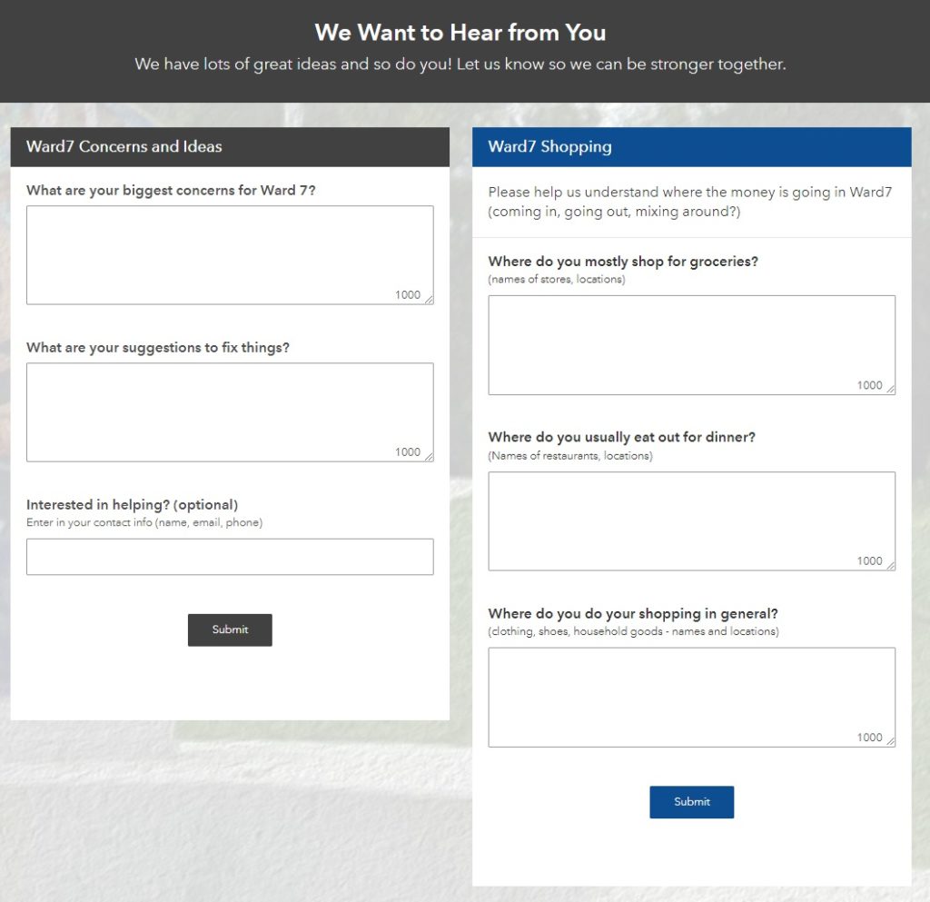
SymGEO was honored to partner with DC’s Ward7 to design and launch a community outreach site designed to present a brief history of the area, a flavor of the neighborhood, the challenges faced due to a changing development landscape, and a call to action for the residents. The site features a history of the development and a map showing the rather sharp economic divide between Ward7 and some of its surrounding neighborhoods.
SymGEO is focused on empowering state and local governments to better use their data and digital assets and to facilitate 2-way engagement with their constituents and communities. We leverage configurable Esri applications to deliver cost-effective solutions to our clients and pride ourselves on delivering a tailored, successful experience during each engagement. Talk to our industry experts today if your neighborhood, department, or organization is interested in community engagement with the power of Esri’s ArcGIS Hub technology – SymGEO is a certified specialist and is here to help!